Could one of Europe's most important wetlands really vanish? Satellites show it may happen in our lifetime
Space.com
by Samantha Mathewson February 20, 2026
AI-Generated Deep Dive Summary
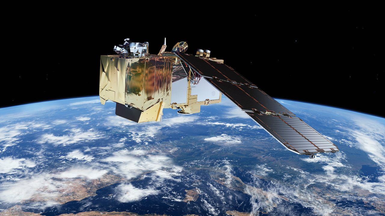
Europe's critically important Doñana National Park, a vital wetland system and key hub for migratory birds, is facing an alarming decline in its marshes. Satellite data from the European Space Agency’s Sentinel-2 satellites reveals that the park’s wetlands have lost significant surface water since 2005, with the rate of loss accelerating after 2010 due to rising temperatures and reduced rainfall. If left unchecked, experts warn that the marshes could disappear completely within 45 to 60 years.
The study, conducted by researchers at the University of Seville, combined satellite imagery with machine learning to analyze water levels and vegetation changes over time. The findings show a concerning trend: since 2005, the wetland has lost nearly half its surface water, with water volume and depth also declining significantly. This environmental crisis is exacerbated by human activities, including intensive agriculture, illegal groundwater extraction, and ineffective wastewater management. These factors have further depleted the region’s aquifers, reducing the flow of water into the marshes.
The implications of this loss extend far beyond Spain. Wetlands like Doñana play a critical role in mitigating climate change by storing water during wet periods and releasing it slowly during dry ones. They also serve as vital refuges for migratory birds traveling between Europe and Africa, supporting one of the continent’s most biodiverse ecosystems. The shrinking of these habitats could have cascading effects on global biodiversity and ecosystem stability.
However, there is hope. The study highlights the potential for human intervention to slow or even reverse this decline. Strengthening groundwater regulations, closing illegal wells, and adopting sustainable water management practices could help preserve the marshes. Additionally, satellite technology like that used in the Sentinel-2 mission not only tracks environmental changes but also supports decision-making for conservation efforts, offering a powerful tool for protecting natural landscapes.
This issue is particularly relevant to readers interested in space, as it demonstrates how advanced satellite imagery and machine learning can provide critical insights into Earth’s ecosystems. By leveraging these technologies, scientists can better understand and address pressing environmental challenges, such as the potential loss of one of Europe’s most important wetlands within our lifetime.
Verticals
spacescience
Originally published on Space.com on 2/20/2026